
Colorado’s Most Difficult 14er: Capitol Peak

I had known about Capitol Peak for almost 10 years before finally making the climbing a reality. Last year I was able to get camping reservations for my birthday weekend at the beginning of August. Couldn’t have asked for a better way to ring in 32 years!
Capitol Peak (14,137 ft), located in Colorado’s Elk Mountains, is one of the most dramatic and challenging 14ers in the state. Known for its famous knife-edge ridge and rugged alpine setting, Capitol isn’t just a hike—it’s a full mountaineering experience. For many climbers, breaking up the ascent by camping at Capitol Lake not only makes the day more manageable but also allows you to soak in the breathtaking scenery of one of Colorado’s most beautiful basins.
If you’re planning to tackle Capitol with an overnight at Capitol Lake, here’s a detailed guide to help you prepare.
Getting There

Trailhead: Capitol Creek Trailhead (near Aspen, CO)
Access: A mix of paved and rough dirt roads; a high-clearance vehicle is strongly recommended. It was nothing crazy, but just be mindfull as there were a few large ruts.
Parking/Camping: Limited spaces, especially on weekends—arrive early or the evening before. There were quite a few dispersed campsites along the road before arriving at the main parking area.
Backpack to Capitol Lake
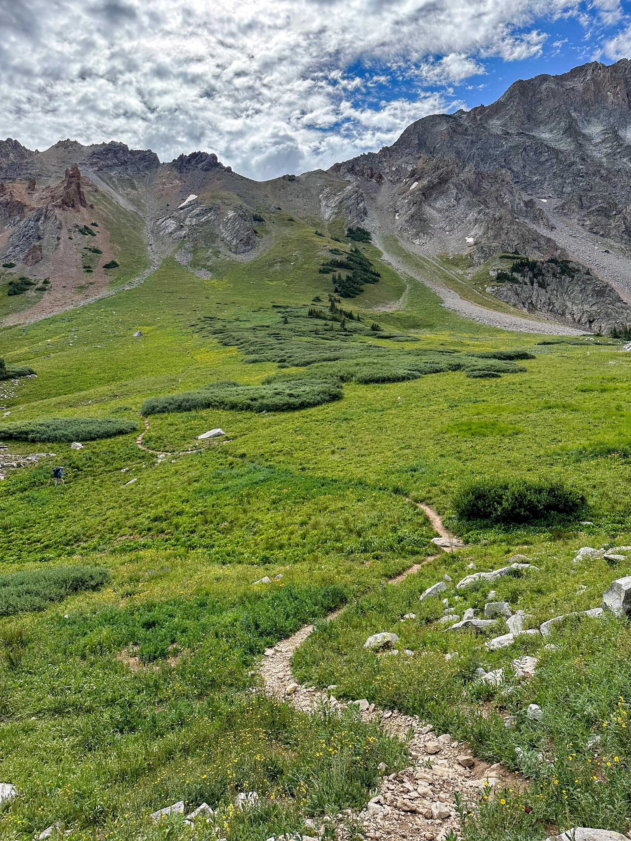
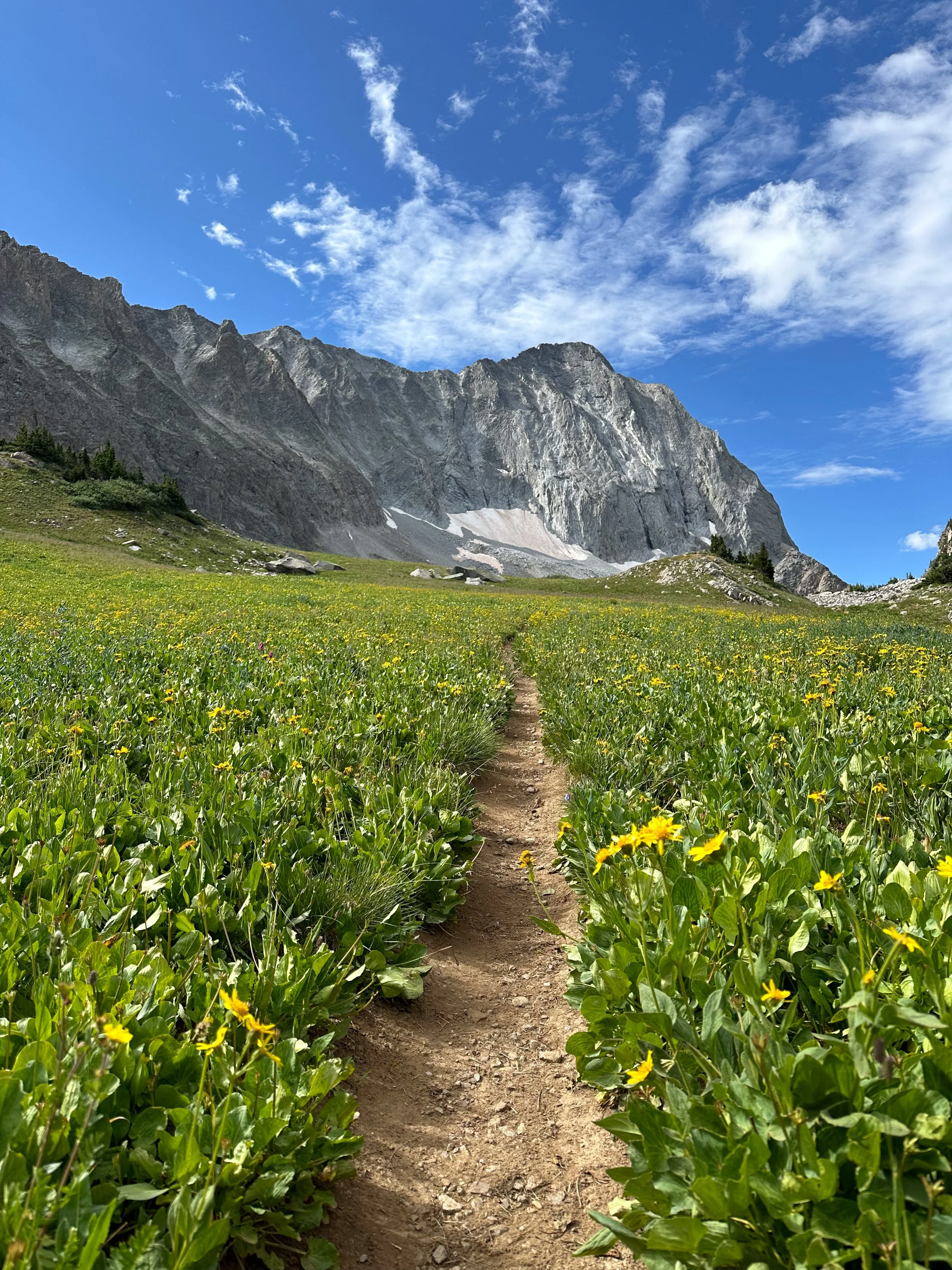
The approach to Capitol Lake is around 6 miles with ~2,200 feet of elevation gain. There are actually two trails that eventually link together before making your way up to the basin. I would highly recommend the Capitol Ditch Trail. It’s a bit more climbing, but the views are phenomenal as you approach Capitol Peak. We ended up taking Capitol Creek trail in, and the Capitol Ditch Trail on the way out. The trail starts relatively mellow through aspen groves and meadows before steepening as you near the alpine basin.


Time: 3–5 hours, depending on pace.
Highlights: Stunning views of Capitol’s sheer north face, wildflowers in mid-summer, and wide-open meadows perfect for photography.
Campsites: There are 9 designated sites near Capitol Lake (permits are required—check current Forest Service regulations). Click here for permits.

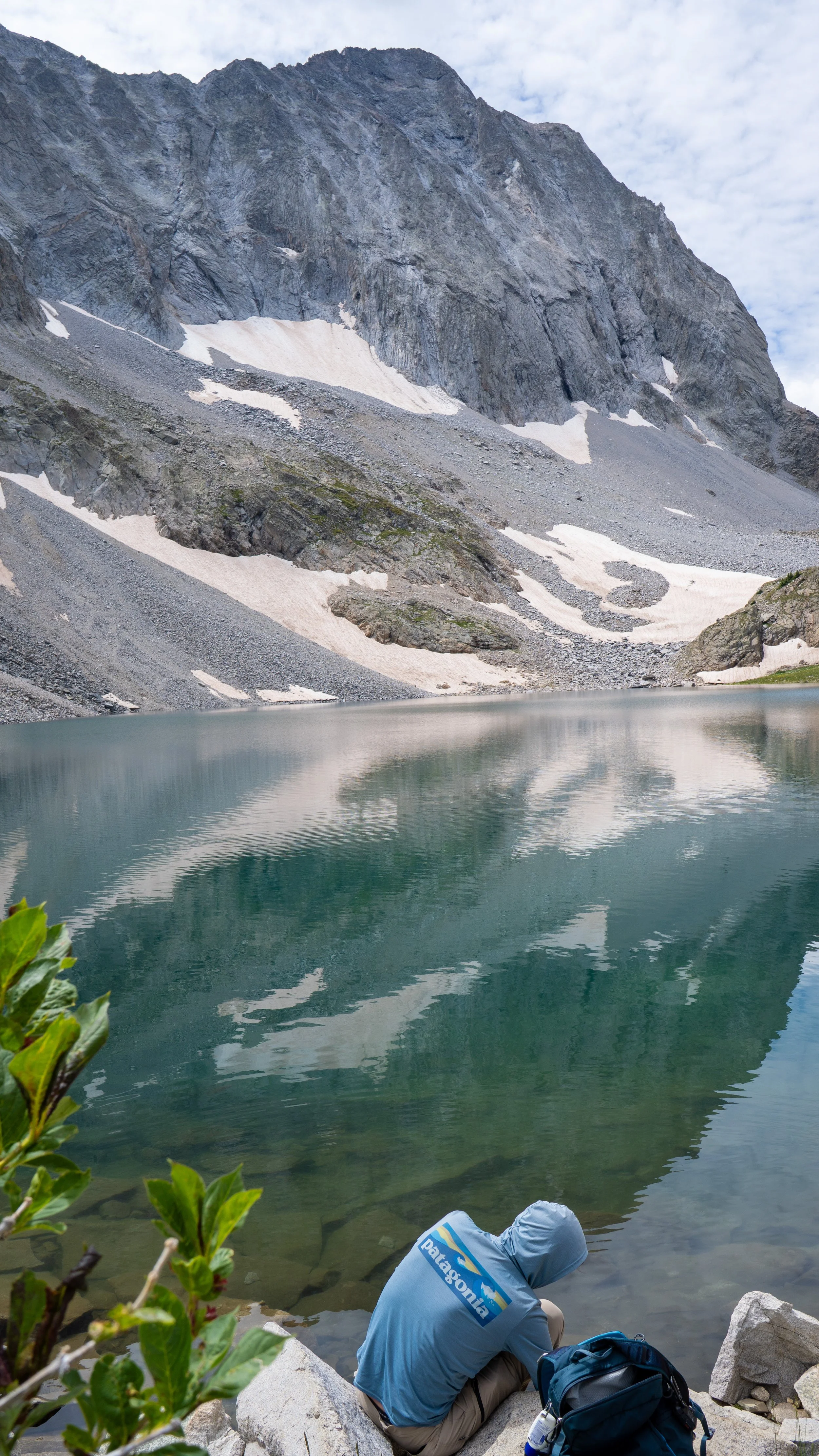
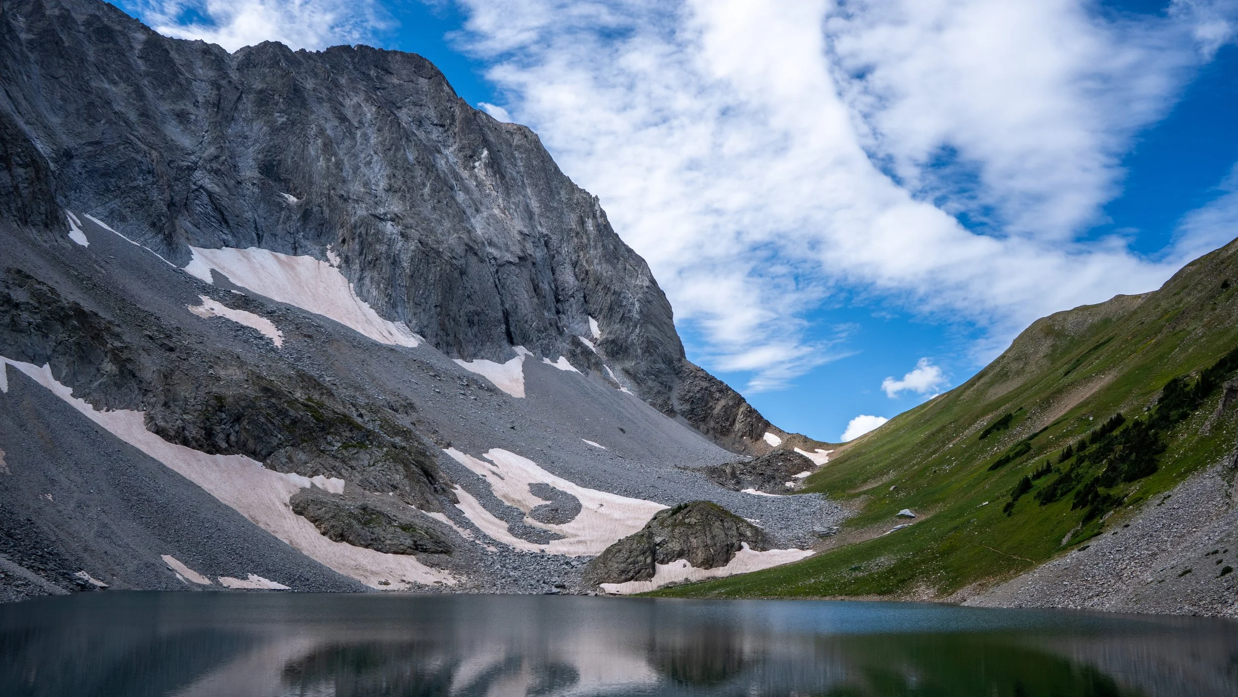
We had booked Campsite 1. Camping here gives you front-row seats to one of Colorado’s most spectacular mountain amphitheaters. Sunsets and sunrises at Capitol Lake are unforgettable. That afternoon, after setting up camp, we enjoyed swimming in the lake, taking in the views, snapping photos of wildflowers in full bloom, and reviewing our route we would climb tomorrow.
Summit Day
We were in the tent and asleep by dark, set alarms for 2:30am, and planned to begin our climb by 3am. Capitol from the lake is a big day—Be Ready for a Class 4 climb with significant exposure!
Here’s a breakdown of the coming day:
Route:
Hike up 1000ft to Daly Pass (~12,500 ft). There’s a nice path, and it was nice to warm the legs up right away.
From Daly Pass, you’ll begin to traverse down the Eastern side of K2. Be mindful throughout this section, as there were a few gullies to cross that were quite loose. Route finding can be hard in the dark through here. Once you pass the gullies, you will begin working your way through the talus fields. This section feels never-ending. I didn’t get too many photos through most of this part, because the sun wasn’t quite up yet. Eventualy though, the sun began to rise as we made our way up to K2


3. Eventually you’ll find the summit of K2. This is a great spot to eat a snack and take in the views of the rest of the route you’ll be climbing. From here is where the fun begins! From K2, you drop down some class 3/4 sections to continue along Capitol’s Northeast ridge, the crux of which is the famous Knife Edge—a 150-foot razor-thin ridge with steep drop-offs on both sides.


4. Once dropping down from k2, you’ll begin your traverse along the ridge, making your way to the crux of the route, the knife-edge. If you have any rock climbing experience and are comfortable with exposure, this section will be an absolute blast! If you are uncomfortable with heights and not used to climbing, this section will be slow going and quite blood pumping for you.


5. The rest of the ridge is quite solid and a really enjoyable scramble. Eventually you will get to a point where you need to head a bit East before making your way up to the summit. Beyond the ridge, expect sustained Class 3 and 4 scrambling on loose rock until reaching the summit.

There were some cairns leading the way up to the summit, but just keep a lookout for them as they are pretty hard to spot!
It’s a fantastic view from the summit and by far the funnest 14er I have done! Just remember though, once you’re at the summit, you’re only halfway done with you trip. You now get to go back exactly what you climbed up!

Click here for the GPX I roughly followed on Gaia. This was a huge help, especially through the talus field going up K2.